
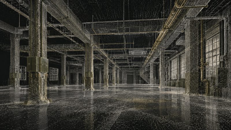
Point cloud data
Scoped spatial exports, with format and intended use confirmed.
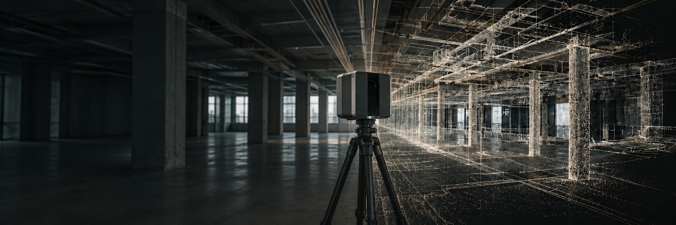
Existing Conditions & Building Intelligence
Record visible and accessible building conditions. Organize the information you need to plan your next step.
From reality to clarity
Record agreed visible and accessible conditions.
Organize capture information and review coverage.
Provide the specifically agreed formats and records.
Use documented context in your next project step.
Good information
supports progress.
Deliverables
that inform
your next step
More than a scan. Information organized around your building and your scope.
Representative imagery.Scoped spatial exports, with format and intended use confirmed.
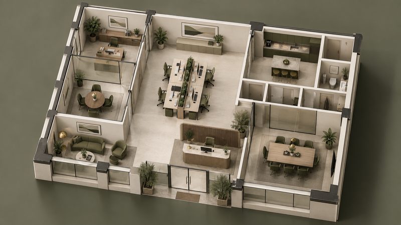
Model or digital-record options, with producer and limitations agreed.
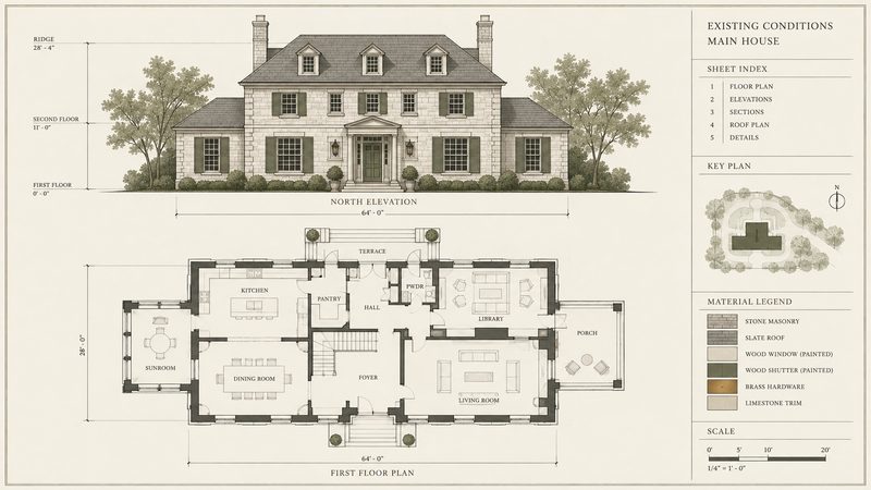
Agreed plans and elevations from available source information.
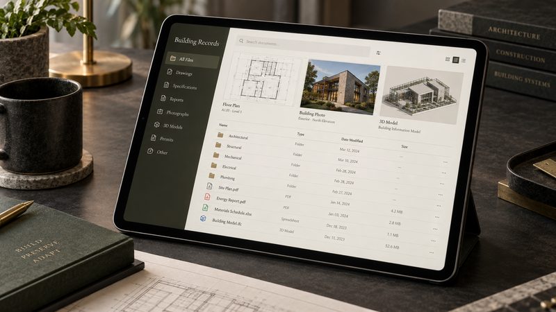
Agreed files, imagery, and references in one organized handover.
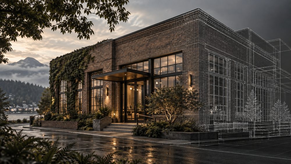 Existing conditions
Start with a clearer understanding of your existing building.
Different records. Different uses.
Explore a captured space remotely, revisit visible details, and give your team a shared reference. Choose the representation that supports the decision you need to make.
Illustrative comparison — not a live client model.
A hosted spatial walkthrough connects views of the real interior. Useful for orientation and remote visual review.
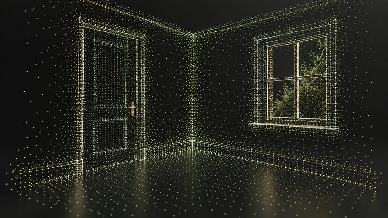
A point cloud is a set of 3D points describing captured surfaces. Agreed exports can be opened in compatible software.
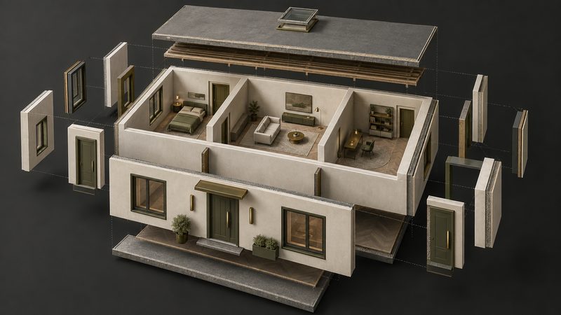
A CAD drawing or building information model (BIM) is produced separately from the capture. Its content, detail, and limitations must be scoped.
A separate service for architecture firms
FAQ —
It records agreed visible and accessible conditions at a particular time. A scope may combine a site capture, spatial walkthrough, reference imagery, measured information, point-cloud exports, drawing documentation, models, and an organized handover. Each output is selected for its intended use.
Here, a digital twin means a digital version of the captured space that you can explore remotely to review its layout and visible conditions. A walkthrough, point cloud, and editable building model are different outputs. This service does not include live sensors, automated updates or a facility-management system.
A walkthrough lets you move through connected views of the space. A point cloud is a set of 3D points that describes the captured surfaces and can be opened in compatible software. A building information model (BIM) represents elements such as walls and floors. These are different outputs: capturing a space does not automatically create an editable Revit model.
The capture method is chosen around access, building conditions, and intended outputs. Matterport Pro3 can be used where appropriate. We establish the areas to cover, access arrangements, and any limits before the visit.
Send a project inquiry for private review. Submission does not confirm project acceptance, scope, pricing, scheduling, or availability.
Tell us what you need, where the project is, and your preferred timing. We’ll review your inquiry and follow up using the contact information you provide.